Unique Properties
65± Acres of Wooded Land for $71,500 in Dewitt, Kentucky
65± Acres of Wooded Land for $71,500 in Dewitt, Kentucky

65± Acres of Wooded Land for $71,500 in Dewitt, Kentucky
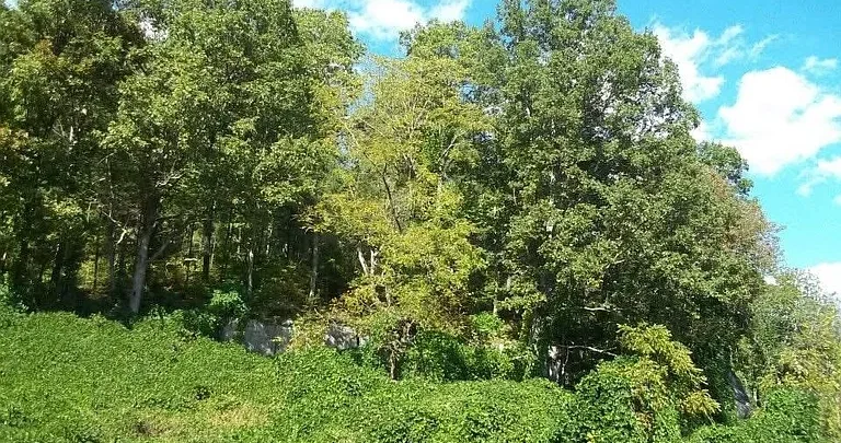
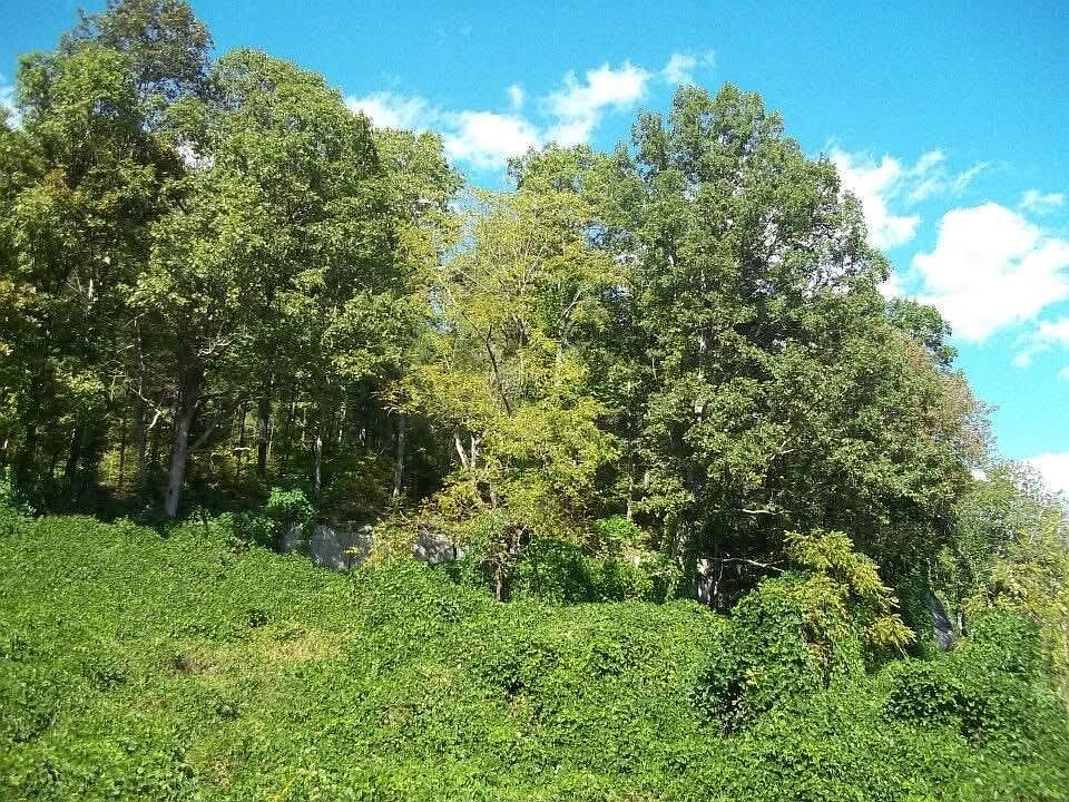
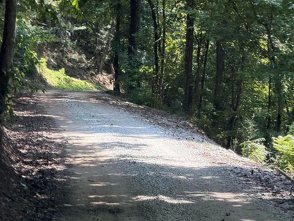
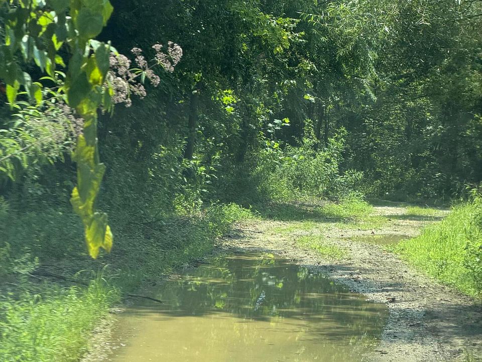
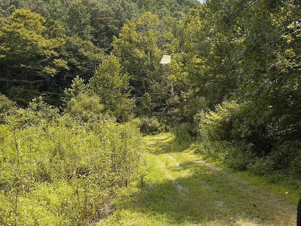
The vacant land at 8888 Hales Fork Rd, Dewitt, KY 40930 is listed at $71,500 and described in the deed as approximately 65 acres. The tract is unsurveyed, and the listing describes a landscape of wooded hillsides, creeks, trails, and pockets of flatter ground. The approach follows a maintained gravel road before transitioning to an old dirt road. For travel farther in, the listing recommends an ATV or UTV.
This property is worth a closer look for buyers who want room to explore, spend time outdoors, or hold a wooded tract for future use. For anyone considering a cabin or home, the most useful questions are where the road reaches the property, how much level ground is usable, and what it would take to connect utilities. Those answers could make a substantial difference in how the land fits your plans.
Property Details at a Glance
| Property detail | Information from the listing |
|---|---|
| Address | 8888 Hales Fork Rd, Dewitt, KY 40930 |
| Asking price | $71,500 |
| Acreage | Approximately 65 acres by deed, unsurveyed |
| Property type | Unimproved land |
| Terrain | Predominantly wooded hillside with some flatter areas |
| Site features | Creeks and trails |
| Road approach | Gravel road transitioning to an old dirt road |
| Structures and fencing | None reported |
| Utilities | Reported along Hales Fork Road |
| Parcel number | 150-00-00-009.00 |
| MLS number | Imagine MLS #26021305 |
What 65 Acres Looks Like on Hales Fork Road
On a hillside tract, the acreage figure tells you the scale of the property. The terrain tells you how you might use it. The listing describes most of this acreage as hillside, with flatter ground near the road transition and in other parts of the tract. Those areas could become the focus of your visit if you want a place to park, a comfortable starting point for walking, or a location to evaluate for future improvements.
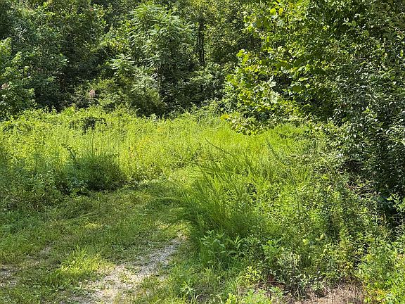
Existing trails can help you see how different parts of the property fit together. A walk may reveal which sections are comfortably accessible, where a trail crosses a creek, and how the terrain changes as you move away from the road. If you expect to spend most of your time in one part of the tract, look at the route to that area as closely as the area itself. A favorite spot becomes more practical when you can reach it reliably and carry in what you need.
Getting to the Property and Exploring the Interior
The listing identifies the well-maintained gravel road as a feature of the approach. Farther along, the route becomes an old dirt road. The listing describes a flatter area near an old cemetery where visitors can park and begin looking at the property on foot. For access beyond that point, it recommends a four-wheeler or a side-by-side.
Ask the listing agent where to meet, where you can park, and which route you should follow during a showing. The cemetery is a useful landmark for finding the area mentioned in the listing. An agent can help identify the parcel’s relationship to the road and nearby features. Since the tract is unsurveyed, confirm the route and access arrangements before relying on either for regular use.
If you plan to visit often, think about what you would bring. A day pack and boots are easy to carry on foot. Tools, supplies, or equipment for maintaining a trail can change what you need from the road. Notice where a vehicle could comfortably turn around and where a narrow or steep section might affect your plans. Ask how the dirt portion typically handles wet weather, especially if you expect to use the property year-round.
Creeks, Trails, and Outdoor Recreation
The wooded terrain, creeks, and existing trails give someone interested in recreation several reasons to walk the property. It could appeal to a buyer who enjoys hiking, wildlife observation, nature photography, or hunting where permitted. The trail network is particularly relevant to anyone who wants to explore the land soon after purchase, since the condition and layout of those routes will shape what is easy to reach.
Take time to look at the creeks and the land around them. Notice which trails run alongside the water, where crossings appear to be, and whether those routes work for the way you like to travel. If you have a specific outdoor use in mind, walk the part of the tract you would use most. A short visit near the entrance may give you a sense of the setting, while a longer walk can help you judge the grade, distance, and condition of the trails.
Could There Be a Cabin or Homesite?
The listing mentions flatter areas, including near the transition from gravel to dirt. Those spots offer a place to begin evaluating a possible cabin or homesite. The property is offered as unimproved land, with no structures or fencing reported, and the listing identifies no prepared building pad or confirmed utility connections. Buyers interested in construction have room to choose where to look, with site work to evaluate for each location.
Start by finding an area large enough for the structure you have in mind and the space you would need around it. Then look at the approach from the road. A spot near the entrance could be easier to reach during construction and daily use. A spot deeper into the woods could give you more separation from the road, with a longer route to evaluate for vehicles, deliveries, and utilities.
Look at drainage, slope, and access together. A clearing may feel level when you stand in the middle of it, while its edges or the approach require more work than you expect. If a particular spot looks promising, a local contractor or site professional can assess that location and help you estimate the work it would take to prepare it.
Utilities Along Hales Fork Road
The listing reports that utilities run along Hales Fork Road. It does not identify the services available at the parcel or provide a quote for extending them. If utilities matter to your plans, contact the providers with the parcel number and, if you have selected one, the approximate location of your proposed cabin or home. That gives them a more concrete route to evaluate than the street address alone.
Think about water, electricity, wastewater, and internet separately. The work involved can vary by service and by how far your chosen spot sits from the road. For someone looking primarily for recreational acreage, the immediate priorities may be the road, trails, and parking. For someone planning a home, service availability and installation estimates may influence both the budget and the choice of homesite.
Timber and the Property’s Ownership History
According to the listing, the property has been in the same family for three generations and was last logged in the spring of 1992. The current owners have held it since that year. That history provides context for the wooded setting buyers will see today. The listing does not include a timber inventory, so the species mix, condition, and potential value of the trees would need a separate assessment if timber is part of your buying decision.
Walk through a few sections of the woods to see how the vegetation and slope vary. Some buyers will care most about shade, privacy, and the character of the trees around a favorite trail. Others may have specific woodland management goals. If the standing timber is a significant part of your decision, a forester can evaluate both the trees and the accessibility of the ground.
Distance to Dewitt, Shopping, and Interstate 75
The listing places Dewitt Elementary School approximately 5.5 miles away and reports that shopping and restaurants are available within about 13 miles. It estimates around 30 minutes to Interstate 75 at Exit 29 near Corbin. On a visit, drive the route you expect to use regularly so you can judge how the paved, gravel, and dirt portions fit into a typical trip.
For a weekend buyer, the practical questions might be how easy it is to bring supplies in on a Friday or stop for groceries on the way. If you are considering living on the land, school trips, deliveries, and everyday errands may matter more. The last stretch of the approach deserves particular attention because it is the portion you would travel every time you visit.
Asking Price and the Unsurveyed Acreage
At $71,500, the asking price works out to about $1,100 per deeded acre, using the listing estimate of 65 acres. That figure is a starting point when comparing rural land listings. The surveyed acreage could change the calculation, and differences in the terrain, road access, and improvements can affect how much use a buyer gets from similarly sized properties.
The parcel number, 150-00-00-009.00, gives buyers a reference when reviewing records or speaking with a surveyor. If you have a specific clearing, creek crossing, or trail in mind, ask how it relates to the property boundaries. Knowing where those features sit matters as much as the total acreage when they are central to your intended use.
What to Look for During a Showing
Begin at the gravel-to-dirt transition and ask the agent to point out the suggested parking area and the route into the tract. Then walk or ride through the areas that match your priorities. A recreational buyer may want to follow the main trails and see the creek crossings. A buyer considering construction may want to spend more time at the flatter locations, looking back toward the road and noting the distance and grade.
The property offers a substantial stretch of wooded ground at a listed price of $71,500. Its strongest appeal will be to buyers who are comfortable with hillside terrain and want acreage they can explore. How well it suits a longer-term project will depend on the specific spot you choose, where the parcel boundaries lie, and what the road and utility connections would require.
The supplied listing identifies Chris McHargue and Shawn D Huddleston of Huddleston Real Estate as the listing agents and Imagine MLS #26021305 as the source.
From Zillow